The article I wrote in Roots&Wings, an online Filipino magazine based in Europe.
Enchanting Coron
By: Pops delos Santos
If you are a nature lover, you would definitely be attracted to Coron.
I have fallen in love with Coron even before I personally saw it. The advances in technology allow you to learn about places that you’ve never been to and people that you’ve never met. It was in 2010 when I first learned about the beauty of Coron through friends. So, in my succeeding visit to the Philippines, Coron was first in my travel itinerary after visiting my family.
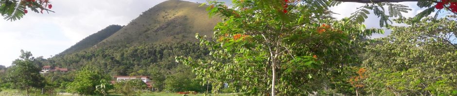
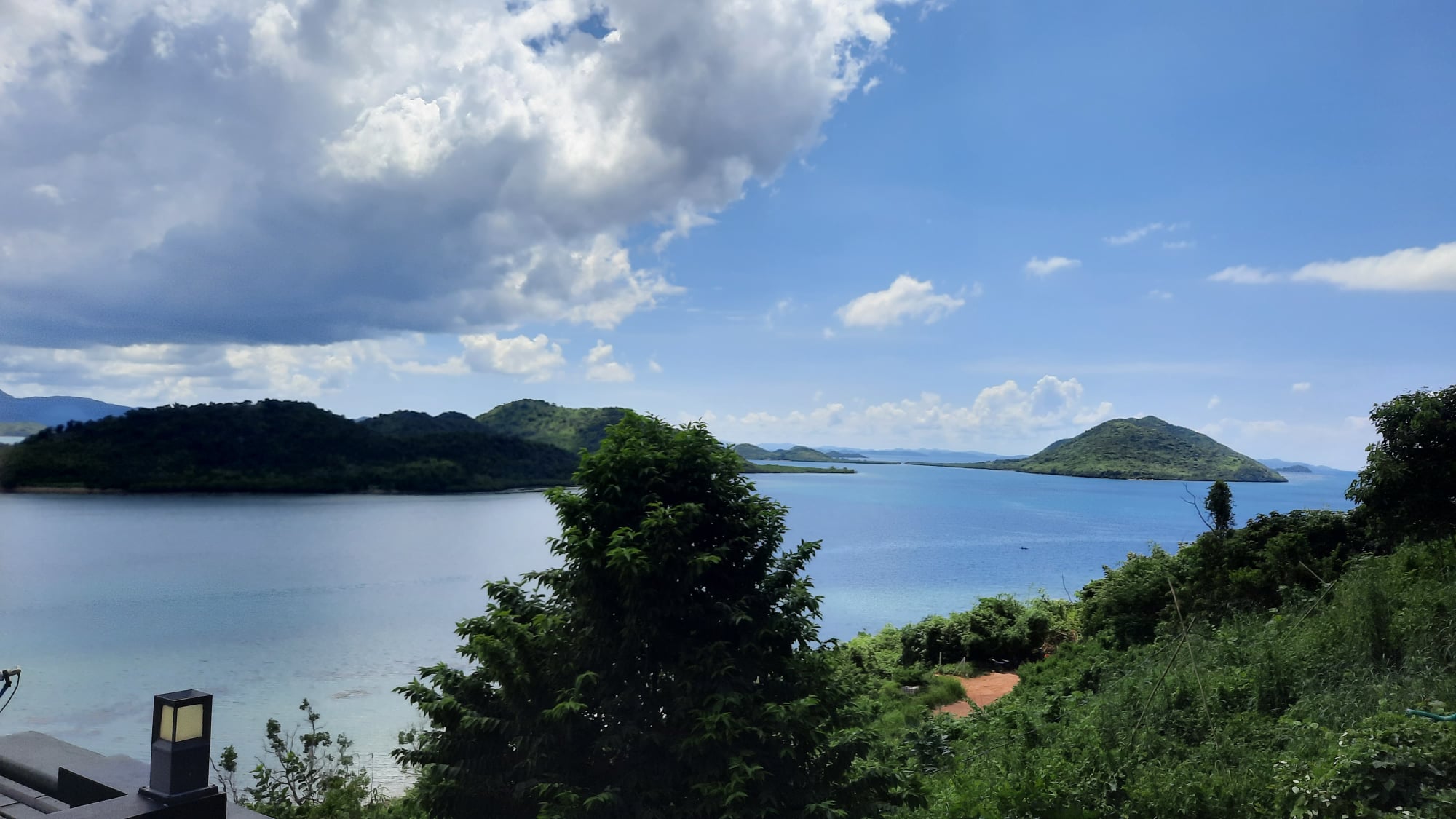
The sight before our plane landed in Busuanga airport is fascinating. I saw beautiful islands scattered down there. The first time I visited Coron was during the middle of a rainy season. The islands looked naturally greener then. The second time was in the middle of the dry season, the islands looked bit brown but was still looking amazing.
Coron is known as the wreck diving capital of the Philippines. It is also considered as one of the world’s top scuba diving destinations. Besides 12 World War II Japanese shipwrecks which have become home to colorful fishes and corals, there are also underwater caves, geothermal lakes, coral reefs and limestone walls that make diving a fantastic experience for experienced and inexperienced divers.
For those who are not into diving, Coron nevertheless, offers fantastic sights to explore and a snorkeling experience to cherish for a lifetime. It is a sight to behold overwater and underwater.
This article will give you an idea how I come to love this place. I’ve been to many beautiful places in the Philippines in connection with my work and profession but I cannot resist the beauty and charm of Coron that I decided to make it my next home.
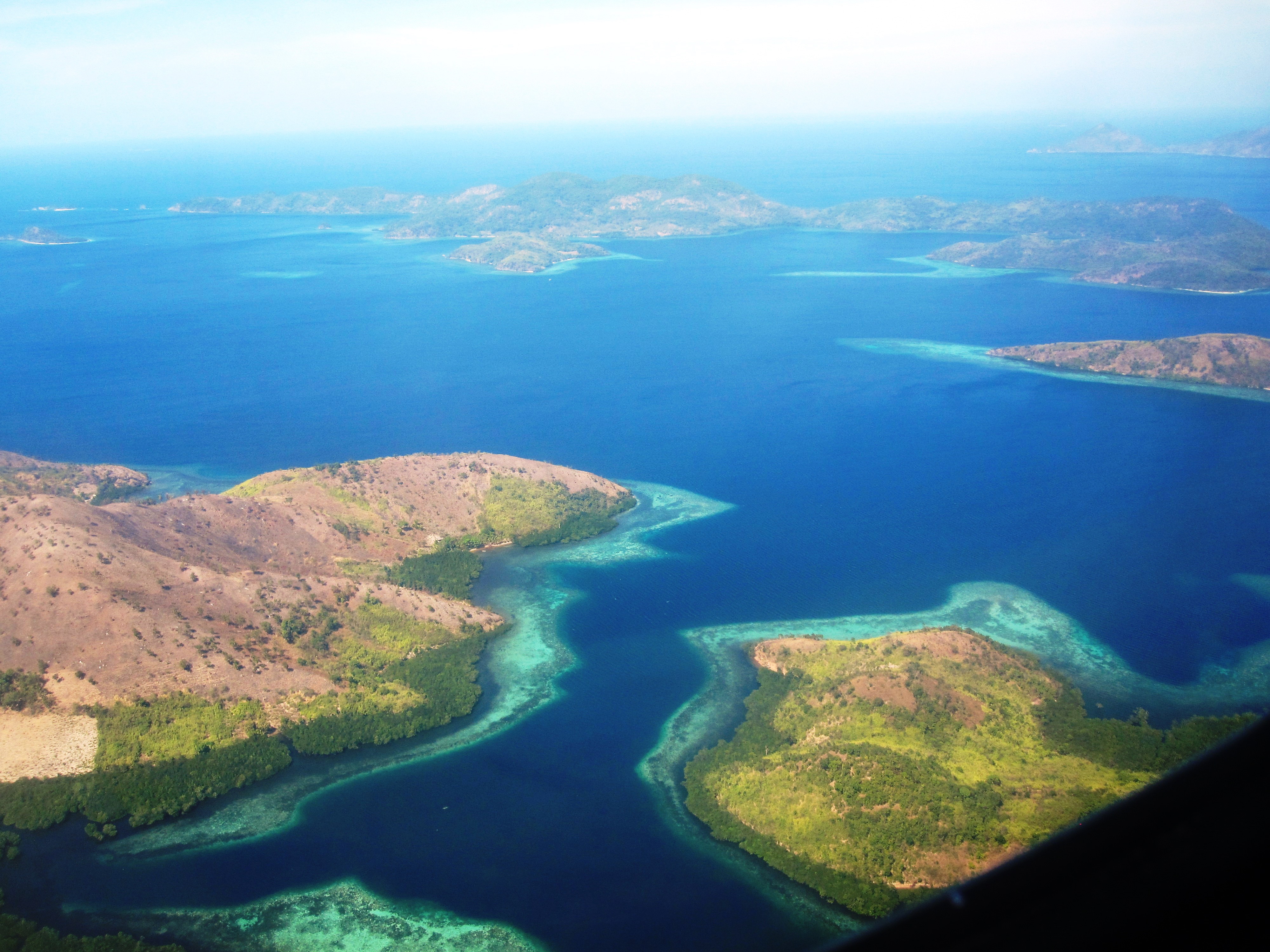
Islands before landing and after take-off
Some of the islands that you can see before landing and after take-off in Busuanga airport. The photo was taken in the middle of the dry season hence the islands are bit brown in color.
Coron municipality
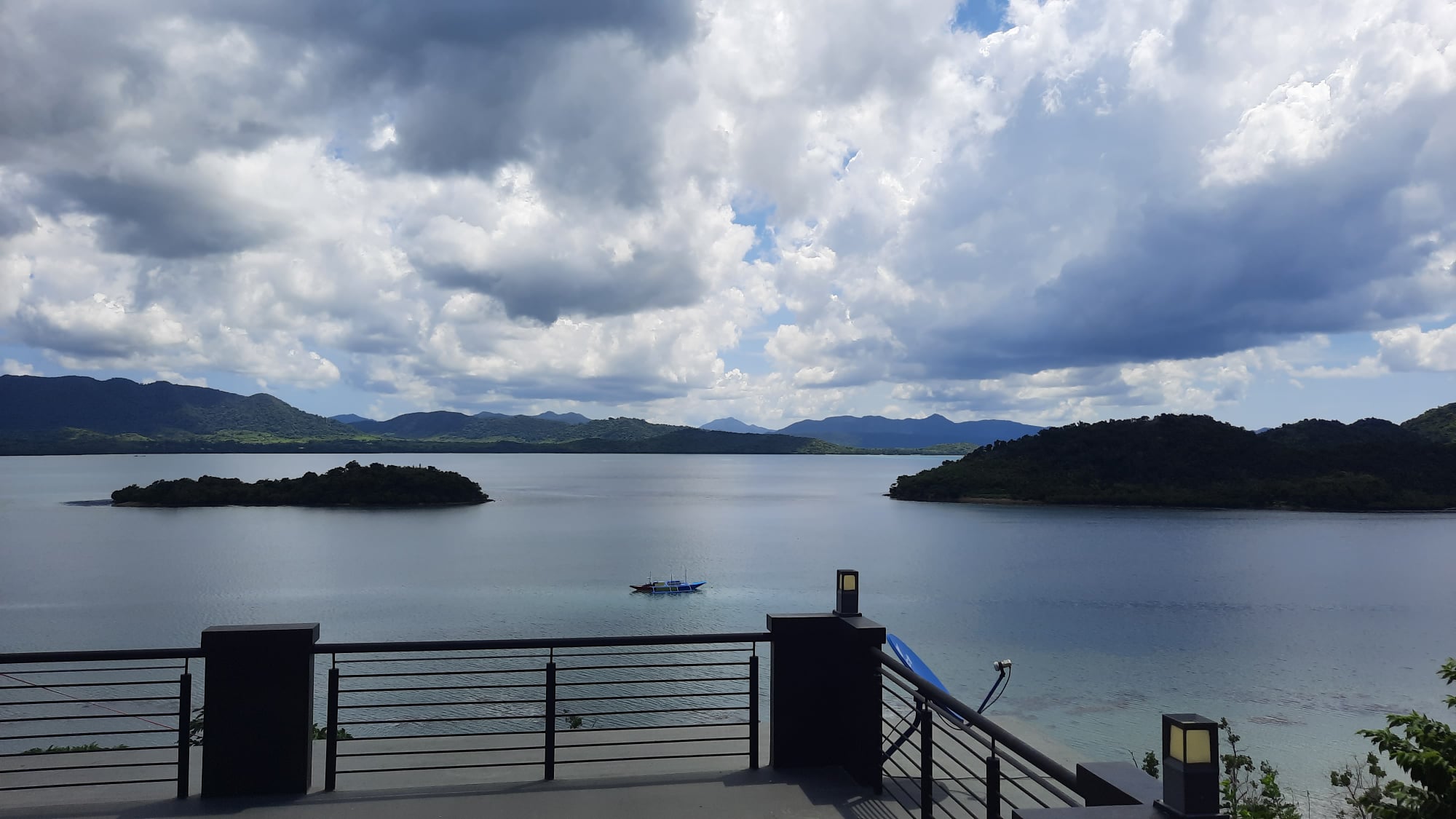
Please note that Coron municipality is not located in Coron island. Coron island is only a part of a bigger Coron municipality. Coron municipality comprises more than half of Busuanga island, the biggest island in the Calamianes group of islands, plus Coron island and other smaller islands and islets. It is located at the northernmost part of Palawan, Philippines. Because it is the location of the airport (Francisco B. Reyes airport) and seaport, Coron serves as jump-off point of tourists and people going the Calamian archipelago and also the center of trade and business in the area.
Blessed with pristine white beaches, turquoise waters, awesome limestone cliffs, volcanic lakes, natural hot springs, caves, enchanting lagoons, stunning coral reefs, a thriving marine population, plus World War II shipwrecks for a piece of Philippine history, Coron is undoubtedly one of the best places to visit and to explore in the Philippines.

Coron town is located in Busuanga island, at the northernmost part of Palawan and is part of the Calamian group of islands. source of map: wikipedia

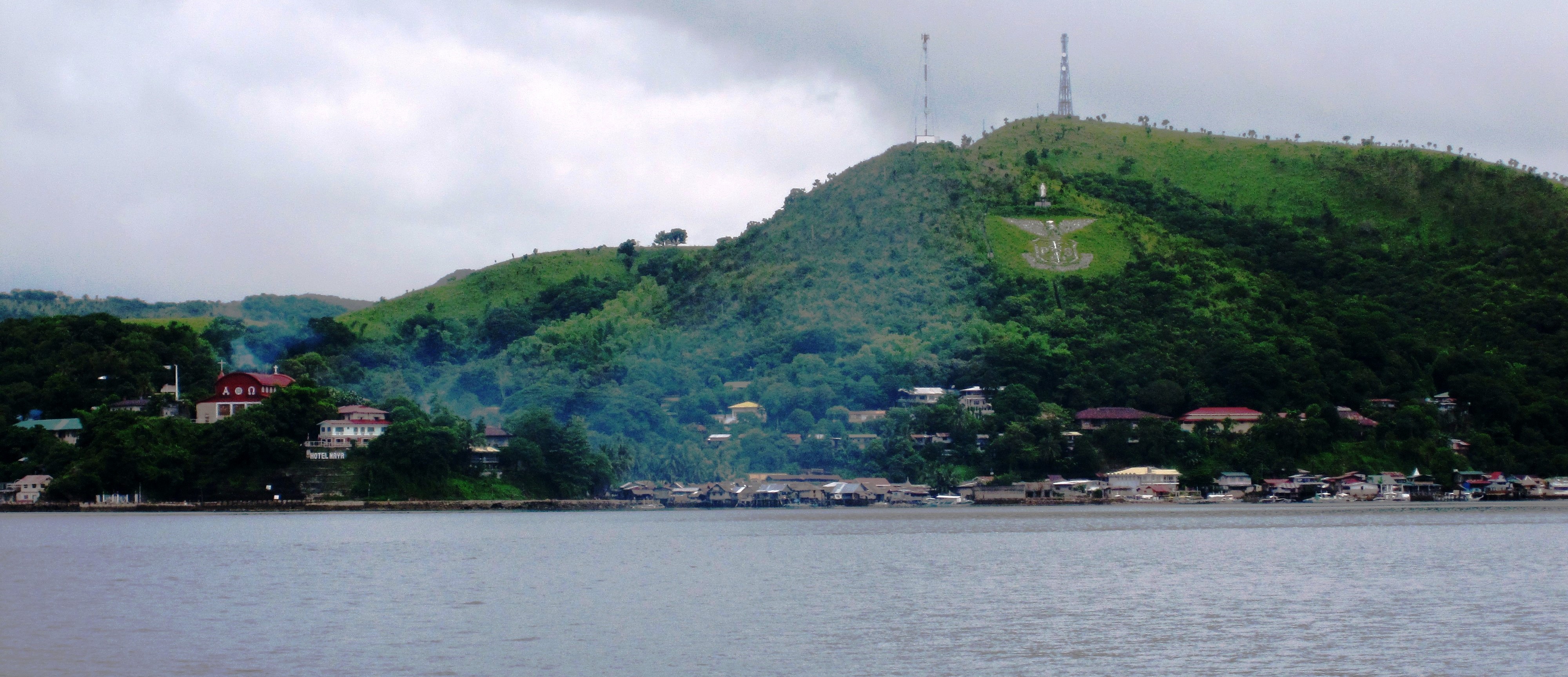
Hollywood style “Coron” town sign as seen from Lualhati Park beside Coron bay.
Coron Island
Coron Island is the 3rd largest island in the Calamianes group of islands. The entire island is designated as Ancestral Domain of the indigenous Tagbanua people. Only two out of several lakes in Coron island are open to visitors.
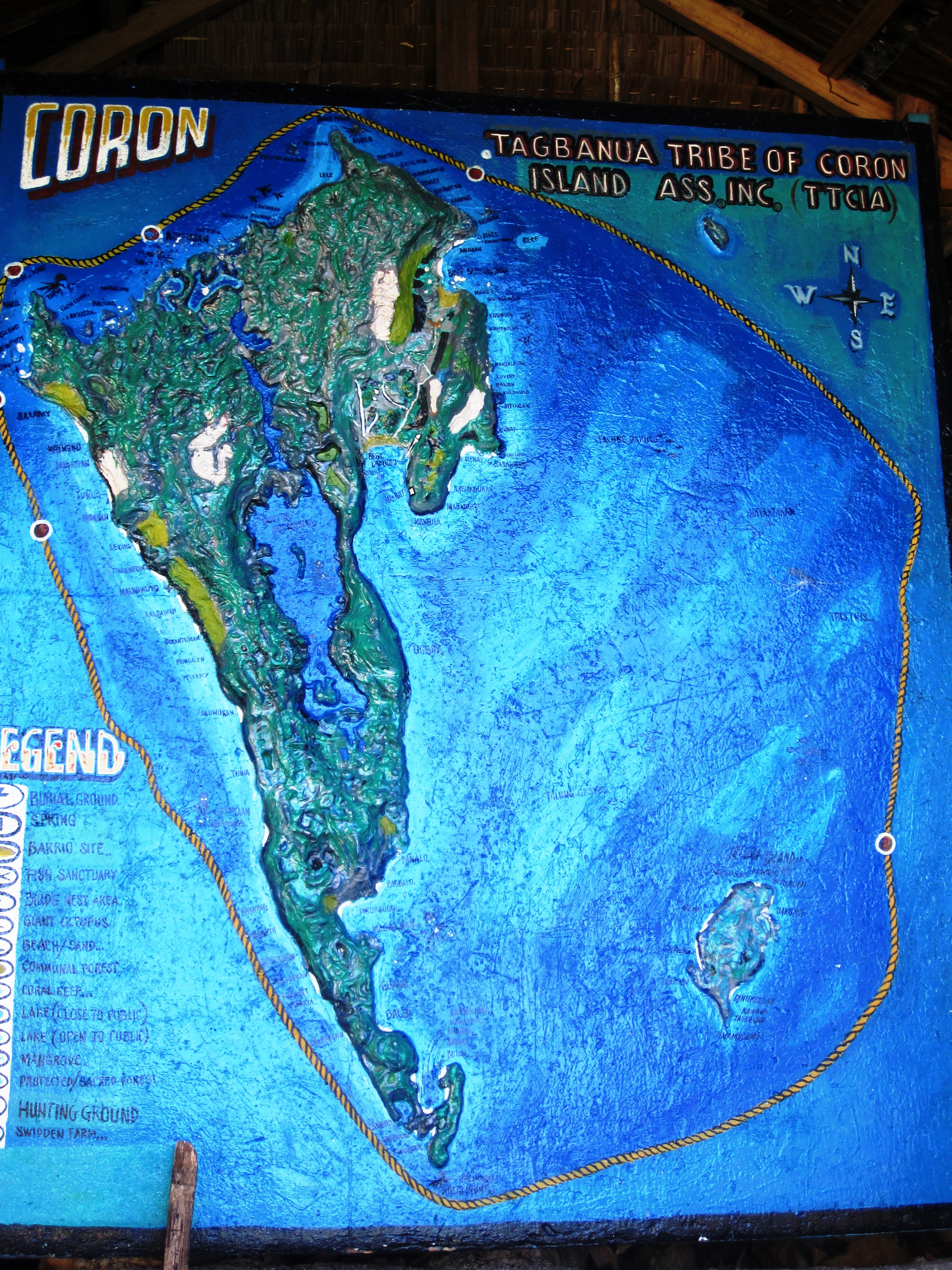
Coron island map
Map of Coron Island. Only portions of Coron Island are open to visitors. Most part of the island is considered sacred, off-limits to visitors to protect the Tagbanuas way of life and traditions.
Attractions & Activities
- Siete Pecados
Siete Pecados is one of the best sites to snorkel around Coron. Here, you feel like swimming in an open aquarium, with great variety of colorful fishes and beautiful corals. It is a marine sanctuary consisting of seven islets and its surrounding waters. It is only 15 minutes boat (banca) ride from Coron town proper.
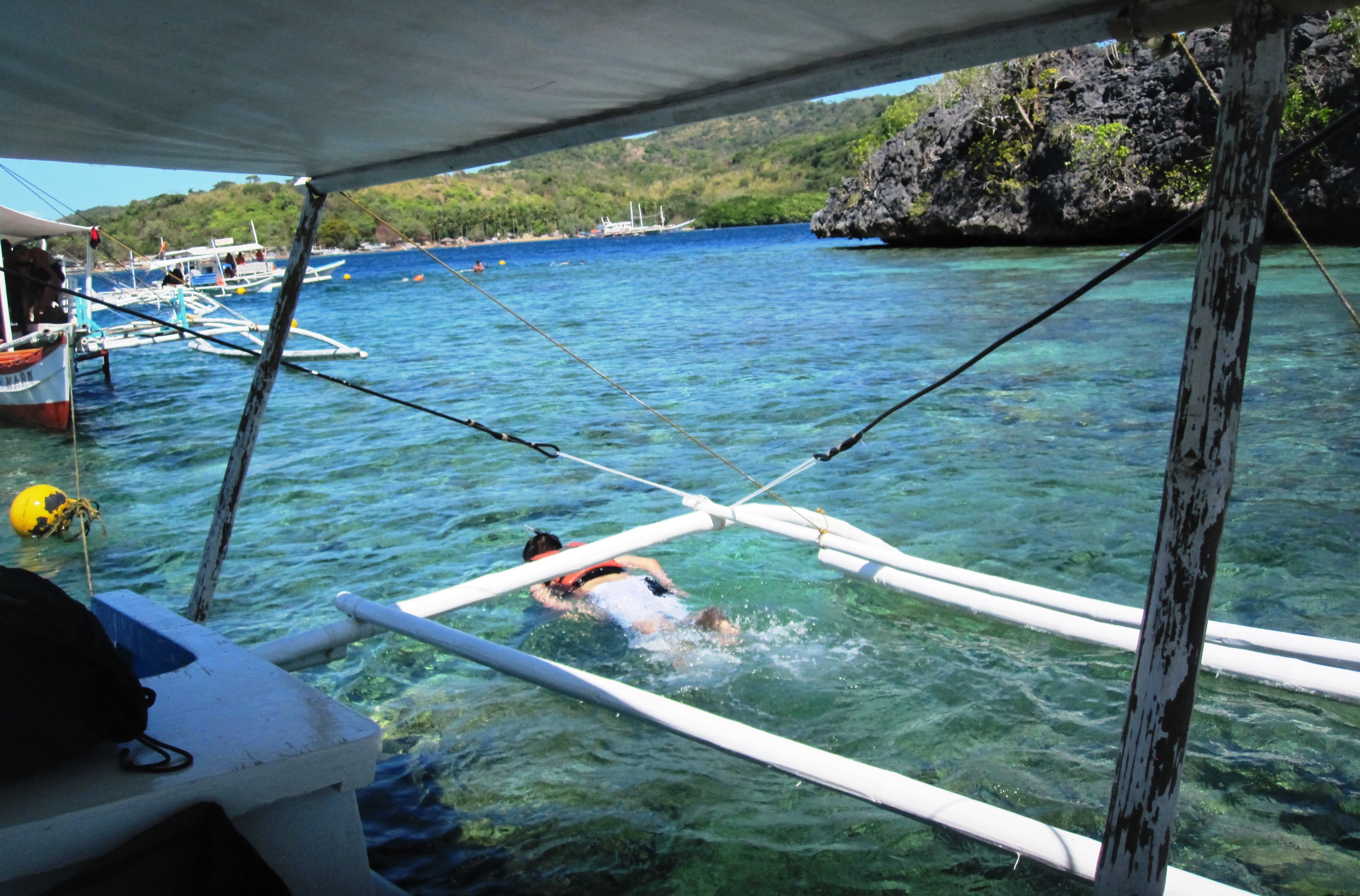
snorkeling at Siete Pecados
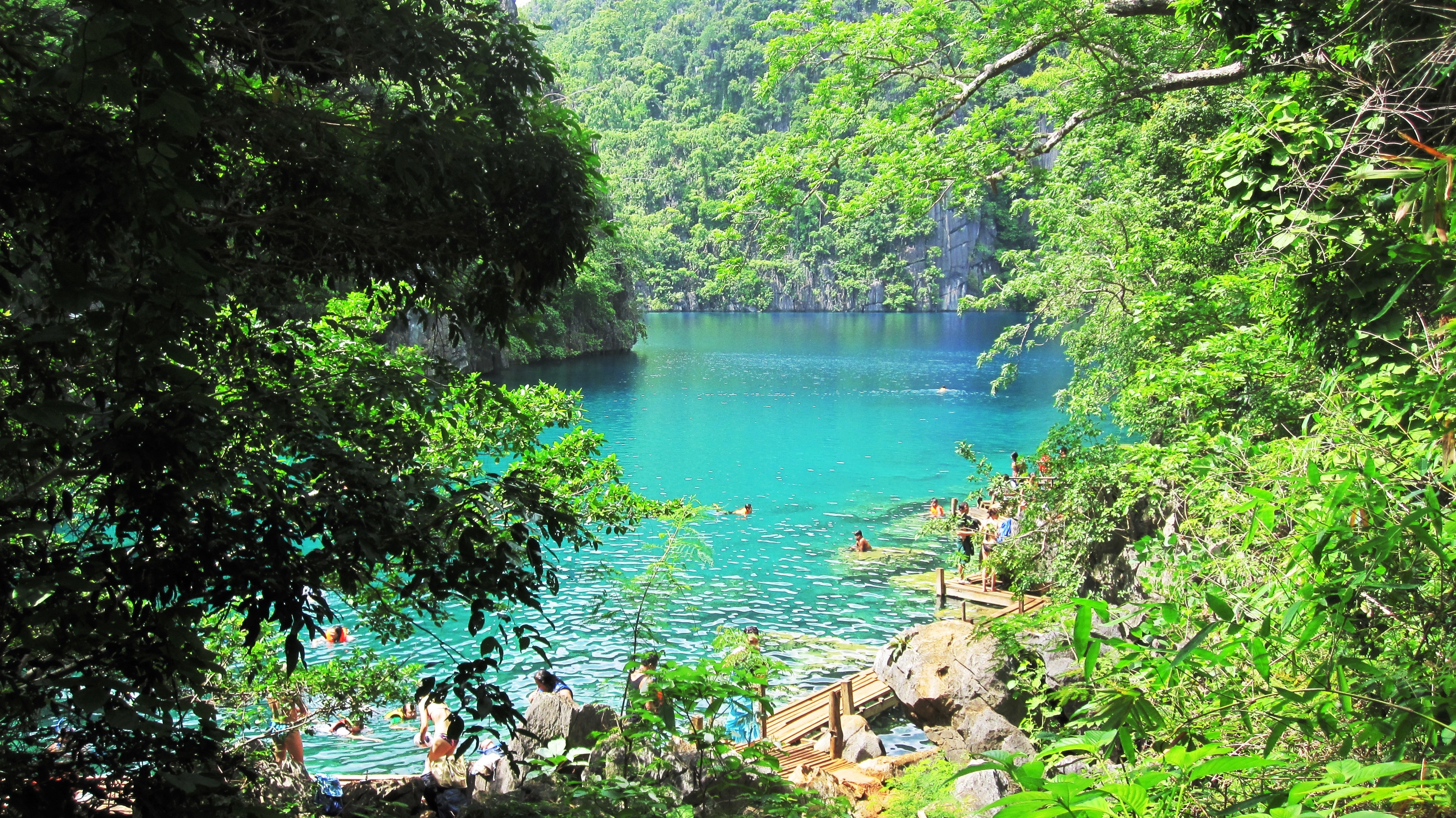
2. Kayangan Lake
Kayangan Lake is one of several enchanting hidden lakes in Coron island and only a 20-minute boat (banca) ride from Coron town proper. The water in Kayangan Lake is clear, clean, calm, and brackish, a combination of warm seawater and water from cold mountain springs.
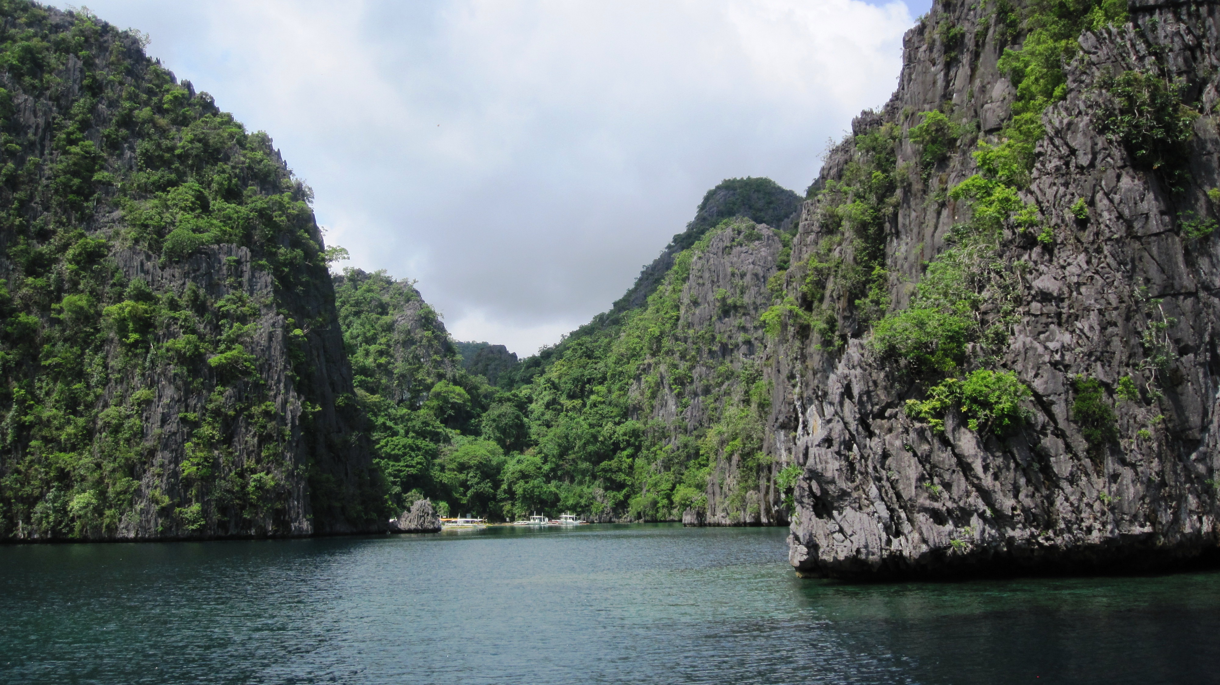
Approach to Kayangan Bay
Amazing limestone walls and unique rock formations on the way to Kayangan Lake.

Kayangan bay, perhaps the most photographed area in Coron.
Kayangan Bay, probably the most photographed area in Coron. This view is what you see when you reach the top of the rainforest going to Kayangan Lake by hiking via a carved path. At this point, you can check out the lagoon where you came from and where the boats are parked. Beside this point lies the mouth of a cave that is not yet opened to the public.
Kayangan lake has clear, clean, calm and brackish ( a combination of fresh and salt) water. It takes about 10 minutes hiking up and down the rainforest to reach this lake.
Kayangan Lake has clear, clean, calm and brackish (a combination of salt and fresh) water. It takes about 10 minutes hiking up and down the rainforest to reach this lake.
3. Barracuda Lake
Hidden behind majestic limestone walls, Barracuda lake is named after a large barracuda fish that inhabits there. Here, divers experience changes in water temperatures ranging from 28C to 38C, and can see thermoclines (a variation of water temperature at the surface and deeper below) at depth of 4 and 14 meters. Source source of info.: http://www.philippinediving.com

Barracuda Lake

entrance to Barracuda Lake
The way to Barracuda lake which is located behind the towering limestone walls is to climb up and down the wooden stairway (in this photo, at the middle of limestone walls, top of the kissing couple). This is accessible via a 20-minute banca ride from Coron town proper. The climb up and down the stairs to reach the lake is shorter than in Kayangan lake.
4. Twin Lagoon

An about 2 meter-wide hole connects the two lagoons. During low-tide as can be seen in this photo, you can see the hole and can easily swim from one lagoon to the other. During high tide, it is an exciting adventure to swim through the hole to get to the other lagoon. Another way to go from one lagoon to the other during high tide is to climb the ladder as shown in the photo.
Twin lagoon. An about 2 meter-wide hole connects the two lagoons. During low tide as can be seen in above photo, you can see the hole and can easily swim from one lagoon to the other. During high tide, it is an exciting adventure to swim through the hole to get to the other lagoon. Another way of going from one lagoon to the other during high tide is to climb the ladder shown in above photo.
5. Mt. Tapyas
The base of Mt. Tapyas can be reached by about 5 minutes walk from Coron town proper. The climb to the top of the mountain takes 700+ steps, less than an hour via paved stairs that begins beside a basketball court and ends at the view deck. In between flight of stairs are shaded areas where you can rest or catch your breath. There are also handrails installed from the base up to the last step of the concrete stairs and at the top of the mountain. The view deck at the top offers a panoramic vista of the town and the surrounding islands. It is also an ideal place to view the beautiful sunrise and sunset in Coron.

The big metal cross on top of Mt. Tapyas is a popular landmark for surrounding areas of the island. It takes about 720 steps to get to the top.
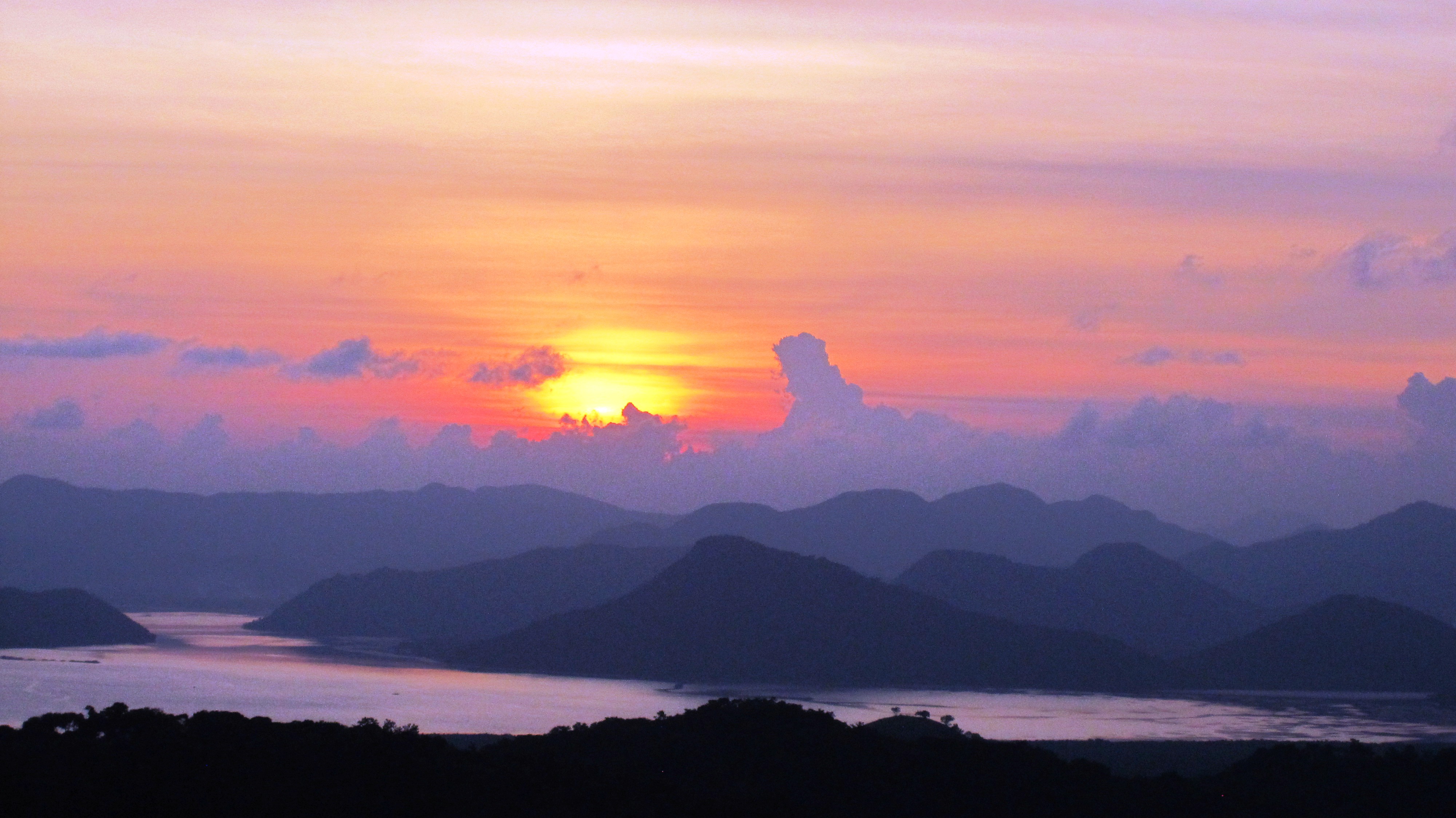
Coron sunset as viewed from Mt. Tapyas viewdeck
Beautiful sunset as viewed from Mt. Tapyas view deck.
6. Maquinit Hotspring
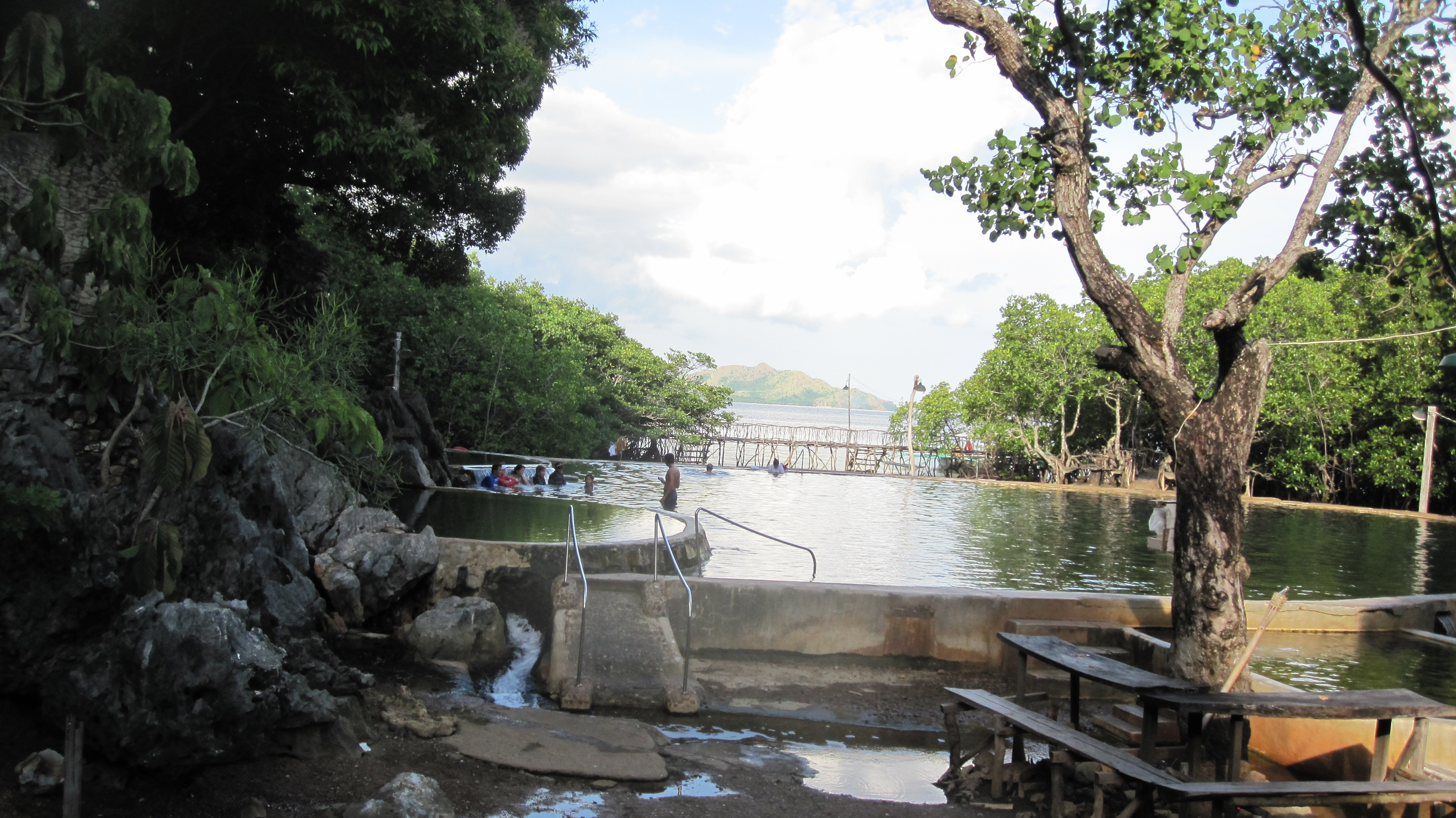
Maquinit Hot Spring
A dip at the salty water of Maquinit Hotspring relaxes and rejuvenates your tired body after you’ve done island hopping, trekking or whatever activity you had during the day. It is located 5 kilometers away (or a tricycle ride away) from Coron town proper.
7. Other Attractions and Activities
Looking at a tourism map of a popular eco-tourism entity in Coron, I noticed that there are still lots of attractive places that I still have to explore and experience there. Black island, Dibutonay island, Malcapuya island, Banana island, Malaroyroy island, Calumbuyan island are just few of them plus few more interesting marine parks, in addition to the twelve Japanese shipwrecks in which some are shallow enough for snorkeling.
When you are in Coron, other interesting islands in the Calamianes archipelago are also nearby. One is Calauit island which is located on the other side of Busuanga island. Declared by the government as a game preserve and wildlife sanctuary in 1977, it is home to both endemic animals and African wildlife. Here, animals from Kenya such as giraffes and elands, zebras and gazelles co-exist with endemic Philippine animals such as the Palawan bearcat, mousedeer and peacock pheasant. The island is also home to more than seventy species of birds, of which ten of them are rare.

Giraffes at Calauit Safari in Busuanga Island
One other interesting island we have visited while we were in Coron is Culion, the second largest island in the Calamianes. Culion was once the world’s largest leper colony for nearly a century. After the declaration of World Health Organization that leprosy has been totally eradicated, Culion has started to attract local and foreign tourists because of its colorful history, in addition to its breathtaking nature and unique sets of flora and fauna.
The view upon approaching Culion island. It can be reached via a 2-hour bigger boat ride from Coron pier.
The view upon approaching Culion island. You can reach Culion island via a 2-hour bigger boat ride from Coron town proper.
Establishments in Coron
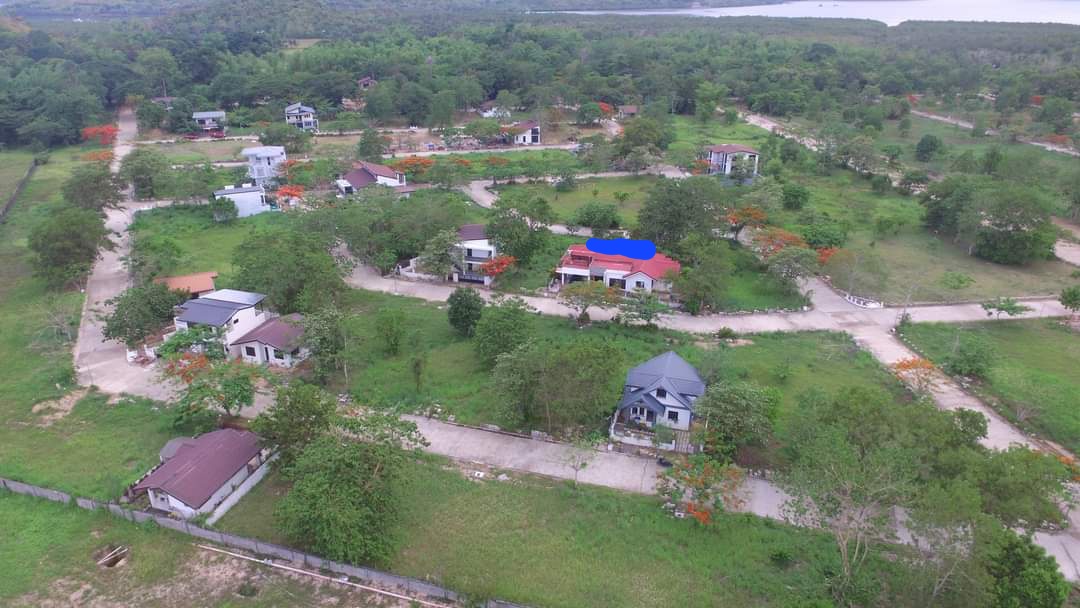
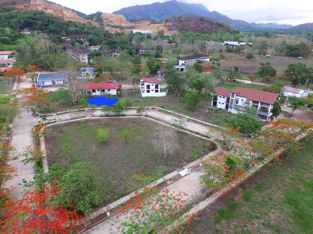
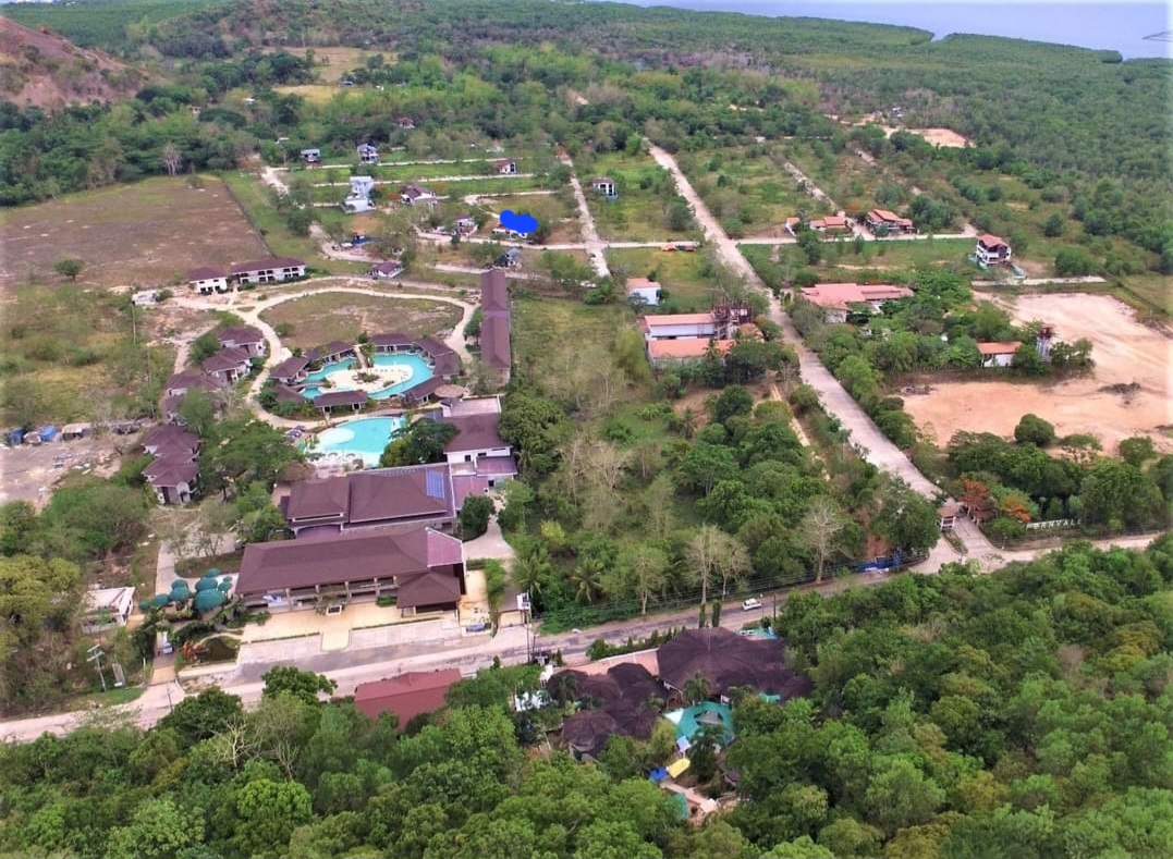
Tourism in Coron has been booming after the opening of Busuanga airport in 2008. Since then, the number of tourists has increased many times over. This resulted in continuing construction of hotels, lodges, resorts and related establishments to accommodate and service increasing number of visitors.
Infrastructure
With the government now realizing the potential of tourism in the nation’s economic progress, we can expect new constructions and/or improvement of roads, bridges, airports and seaports all over the country. When I first visited Coron in mid2011, lots of bridges there were in state of disrepair you would feel bit nervous to cross it. But in my second visit there last February 2013, I noticed that those bridges have already been replaced with new concrete and steel structures. The local government of Coron has also already solved the perennial water supply problem. The power problem will also be soon a thing of the past with the construction of a new power plant which will have a capacity of more than triple the current capacity. In addition, Coron will soon have a high-speed internet and telecommunications network with the on-going laying and installation of fiber optic cables in Palawan by Globe Telecommunications company.
Health Concern
There are no malaria-carrying mosquitoes in Coron and in Calamianes group of islands. However, you should take normal precaution as you would in any place with ordinary mosquitoes. Applying mosquito repellent on exposed skin when sitting outside at night is always advisable.
Peace and Order
The atmosphere in Coron is very peaceful, with very low (almost zero) crime rate. The people in Coron are tourist-friendly. Tricyle drivers and boatmen are also oriented to act as tour guides. A prominent Coronian told me that people in Coron have jobs. This fact plus the natural beauty of the surroundings could be the reason why Coron is a peaceful place. But as they say, there are good and bad people everywhere, so exercising a bit of caution is always advised.
Risks from Natural Calamities
As can be seen from the hazard maps of the Philippine Institute of Volcanology and Seismology, there are no active faults traversing in and along the whole province of Palawan. It is also seldom visited by typhoons.
How to Get There
There are daily flights to Coron from Manila (Manila-Busuanga) and vice versa via Cebu Pacific, PAL Express, and Zest Air. There are also boat trips from/to Manila, Puerto Princesa, El Nido, and other islands.
References and links
http://tourism-philippines.com/coron-island-calamianes-islands/
http://www.coronwrecks.com/
http://www.philippinediving.com/
http://ptd.com.ph/featured-destination/coron-escape-to-paradise/
http://ptd.com.ph/ph-news/an-interview-with-corons-acting-mayor-ajerico-barracoso/
http://calauitisland.com/
http://www.businesstraveller.asia/asia-pacific/archive/2011/june-2011/great-escape/culion,-the-natural-wonderland
http://www.gmanetwork.com/news/story/295997/lifestyle/travel/culion-the-unconventional-tourist-destination
http://www.globe.com.ph/press-room/fiber-optic-cable-system
http://www.phivolcs.dost.gov.ph/images/active.faults/af_trench_with_capitals.pdf
About the author:
Pops delos Santos is a Certified Public Accountant and a licensed Real Estate Broker in the Philippines. She presently resides in Nieuwegein, Netherlands.
http://www.rootsandwingsonlinemag.com/SummerIssue2013/emagazine.html#/68-69/


You must be logged in to post a comment.